
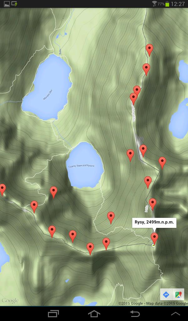
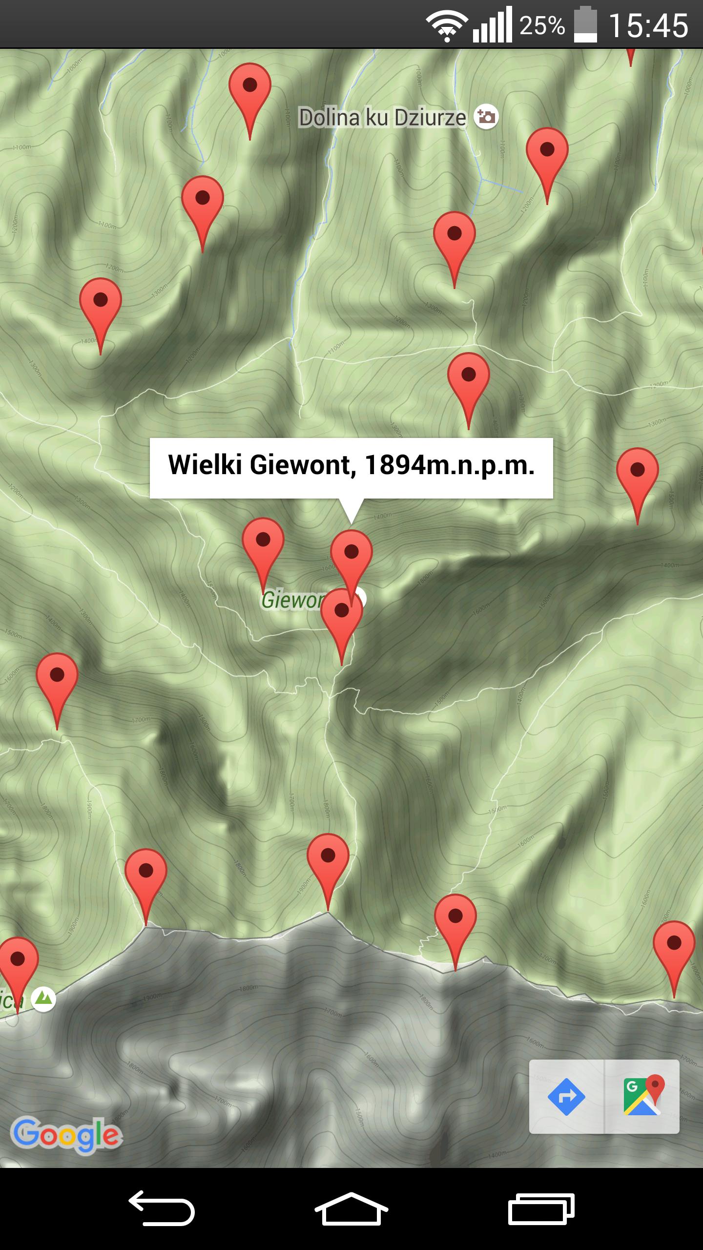
A map of the peaks of the tatra mountains. Select a destination, and navigation will lead you there.
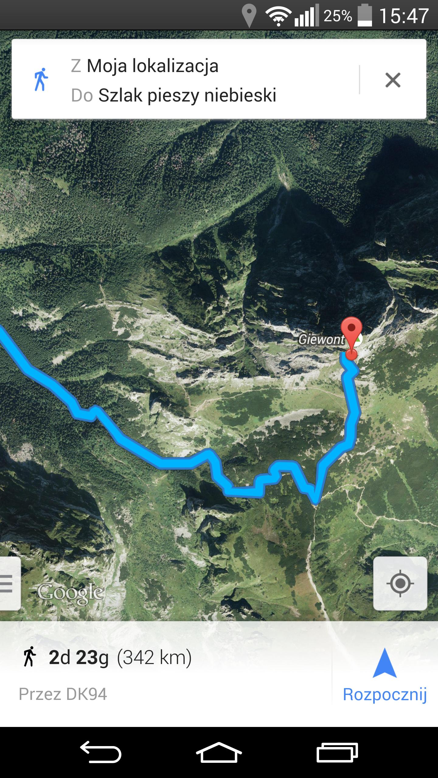
The application displays the topographic map of the Tatra Mountains with marked peaks. After selecting the top, its name and height of the M PPM are served, touch the arrow on the blue background in the lower right corner of the screen, and Google Maps navigation will lead you to your destination.
Requirements:
+ Androidos V4.0.3+
+ Internet connection
 Download APK(2.63MB)